Since May 20, 2025, a public discussion has been taking place on the draft updated GOST R, which regulates the conduct of aerial phototopographic surveys. The document is intended to simplify the creation of digital maps and reduce the costs of work.
The updated GOST R will replace the current 2021 standard and include modern technological solutions. The main changes will affect:
- Reducing the cost of work – new methods will allow you to save on aerial photography at a scale of 1:25,000 and larger.
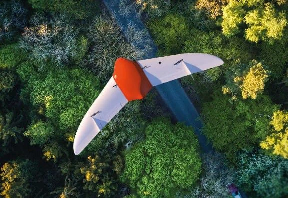
- Use of drones – the standard will take into account the requirements of GOST R 70078-2022 for UAVs.
- Creation of digital models – the process of developing orthophotomaps, 3D relief models and cadastral maps will be simplified.
The new standard will affect surveyors, cartographers, cadastral engineers and aerial photography companies. The introduction of modern standards will speed up data processing and increase the accuracy of results.
The project was prepared by the companies Geoscan and Roskadastr. Before the end of the discussion, all interested parties can propose their edits.
The updated GOST R for aerial photography will make working with spatial data faster and cheaper. The introduction of new technologies is especially important for cadastral registration and construction. The final version of the standard will be approved after completion of public discussion.
The material was prepared with the support of the Russian Ministry of Education and Science as part of the Decade of Science and Technology
Source: @izyskateli