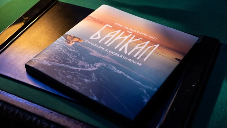
The Karpinsky Institute has completed work on the first “Geological Atlas of the Baikal Natural Territory”. The unique publication brings together the results of many years of research and becomes accessible not only to specialists, but also to a wide audience.
Baikal is recognized as a UNESCO World Heritage Site due to its exceptional ecological and scientific significance. The lake contains about 20% of the world’s fresh water, and its geological structure makes the region an important study site.
In Russia, the status of Baikal is fixed at the federal level. As part of the national project “Ecology”, large-scale research is being conducted aimed at preserving and studying the ecosystem of the lake and its surrounding area.
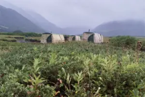
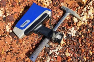
Since 2015, scientists from the Karpinsky Institute and Hydrospecial Geology have carried out comprehensive geological research, including monitoring the natural environment, studying tectonic activity and field work in the coastal zone. Over the course of ten years, experts systematized data on the Siberian Platform and the Sayan-Baikal fold belt, which made it possible to create a scientifically based picture of the geological development of the region.
150 pages contain information about the geological structure of the Baikal natural territory, modern movements of the earth’s crust, geophysical fields, groundwater and the temperature regime of the water area. The publication includes more than 50 maps, diagrams and illustrations, as well as a “Map of Geological Monuments” and information about environmental protection zones and tourist routes.
Prime Minister Mikhail Mishustin noted the importance of the Atlas for science and ecology. President of the Kurchatov Institute Research Center Mikhail Kovalchuk emphasized the importance of research on Baikal for studying the evolution of the Universe, since a world-class neutrino telescope is being built in the lake.
The publication opens up new perspectives for scientific research, and can be viewed at the Karpinsky Institute.
Source: geoinfo.ru
photo: Rosnedra