Polymetal specialists have developed a unique application that significantly improves the quality of geodetic information obtained using drones. The author of the idea was the leading surveyor of the Nezhdaninsky mining and processing plant, Roman Dzyundzia. The new development has already been successfully implemented, and will soon be presented at the corporate conference “Territory of Achievements.”
The program runs in the popular AutoCAD Civil 3D environment, which is widely used for design and modeling. Its main purpose is to eliminate inaccuracies that often arise in aerial photography. Even modern drones can experience errors due to camera glitches, positioning errors, or poor weather conditions. The average deviation in height is usually 10-12 centimeters. Although this is within the norms, such errors lead to financial risks, for example, to errors in calculating the volume of soil or building materials.
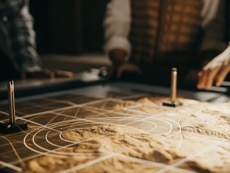
The new application automatically compares the drone’s digital elevation model with reference data from high-precision GNSS satellite receivers. As a result, the program does not simply average the indicators, but carries out a detailed mathematical correction of the surface. This allows you to build an optimal and reliable relief model, which guarantees the accuracy of design calculations.
As the senior surveyor of the enterprise, Alexey Bolshakov, emphasizes, the key advantage of the solution is its narrow specialization and accessibility. The application solves a specific problem to improve accuracy without the need to purchase expensive complex software. This makes the development useful not only for the Nezhda Mining and Processing Plant, but also for other enterprises of the company.
Thus, a new development specialists “Polymetal” is a practical tool that increases the reliability of geodetic data and reduces financial risks at the most important stages of construction and monitoring of mining operations.
The material was prepared with the support of the Russian Ministry of Education and Science as part of the Decade of Science and Technology.
Source: @globus_vnedra
Image generated by a neural network