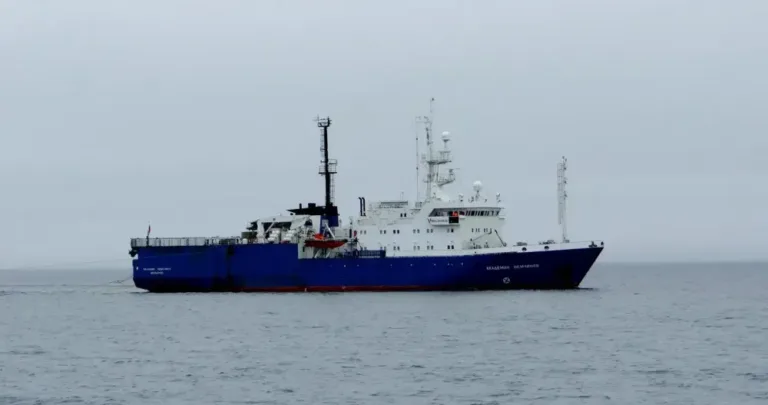
Russia is laying the groundwork for a potential oil and gas future along its Arctic coast. The research vessel Ordovik, equipped with advanced marine seismic surveying equipment, has entered the Bering Sea to conduct deep subsurface imaging. Until mid-autumn, scientists and crew members will systematically survey Anadyr Bay.
The large-scale expedition is financed by the state-owned holding Rosgeo, while field operations are being carried out by its specialized subsidiary Sevmorneftegeofizika. The research vessel sailed from Murmansk and arrived in the survey area during the second half of June.
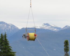
The expedition’s primary exploration tool is a marine seismic acquisition system. Towed behind the Ordovik is a 9-kilometer seismic streamer—a cable containing hundreds of sensors that record acoustic waves reflected from subsurface rock formations. The seismic signal itself is generated by an energy source towed behind the vessel. The entire system moves at just 4–5 knots, making the ship extremely limited in its ability to maneuver.
Because of this, a strict safety exclusion zone has been established around the survey area. Other vessels are prohibited from approaching the Ordovik within 5 kilometers from the front or sides and 14 kilometers from astern. Russia’s Federal Agency for Fisheries has already notified all fishing operators in the Bering Sea to avoid the exploration zone.
Fishing companies have also been instructed to remove nets, traps, and longlines from the vessel’s planned route in advance. Fishing operations may resume only 24 hours after the Ordovik leaves the survey block.
The mission continues a broader effort to study Russia’s Arctic offshore resources. Two years ago, another research vessel, Bavenit, operated in the same region, drilling stratigraphic wells near the outer boundary of Russia’s continental shelf. The data collected during that expedition supported Russia’s application to expand its sovereign rights in the Arctic.
The current Ordovik campaign represents the next stage in systematically reducing geological uncertainty. If the seismic data reveal promising hydrocarbon traps, the Chukotka Peninsula could eventually evolve from a remote Arctic frontier into a significant oil and gas producing region.
Source: IA Chukotka
Image: Sevmorneftegeofizika