IBM and the European Space Agency (ESA) have made publicly available a new ImpactMesh dataset and pre-trained TerraMind AI models. The development is aimed at analyzing extreme natural phenomena, primarily floods and forest fires, which become the most destructive disasters in the world.
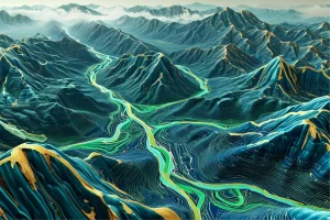
ImpactMesh is a global multimodal dataset built on data from the Copernicus Sentinel-1 and Sentinel-2 satellites over the past ten years. It contains images of areas before and after natural disasters, which allows you to clearly assess the scale of destruction. Each recorded case is represented by three types of data at once: optical images, radar images and terrain maps.
This approach is especially important in conditions where smoke from fires or dense clouds prevent satellites from seeing the situation using conventional cameras. In these cases, radar data and surface elevation information help to more accurately determine the boundaries of flooded areas and burned areas.
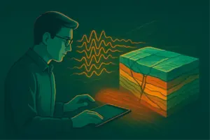
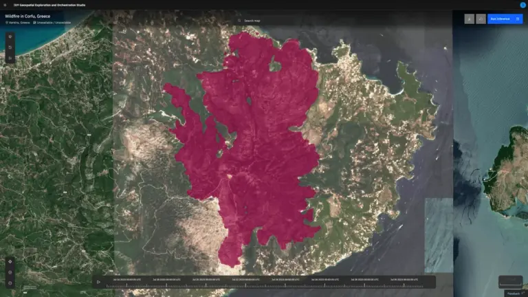
To demonstrate the practical usefulness of the dataset, IBM and ESA researchers further trained the TerraMind model to analyze forest fires. Early tests have shown that using before and after images produces maps of burnt areas that are at least 5% more accurate than models that rely only on optical images.
According to experts, floods and fires account for almost half of all natural disasters in recent years. As the planet’s temperature rises, their scale and frequency continue to increase. AI models, trained on ImpactMesh, can be used to plan emergency response, assess damage, restore infrastructure and create more accurate risk maps.
The project became part of a long-term collaboration between IBM and ESA. Along with the dataset, the companies also released TerraKit, an open tool for creating geospatial datasets and AI model settings under current satellite information.
Open AI models and the ImpactMesh dataset give researchers and responders a new tool to more accurately analyze natural disasters. The development can improve preparedness for extreme events and reduce their consequences in a changing climate.
Source: IBM