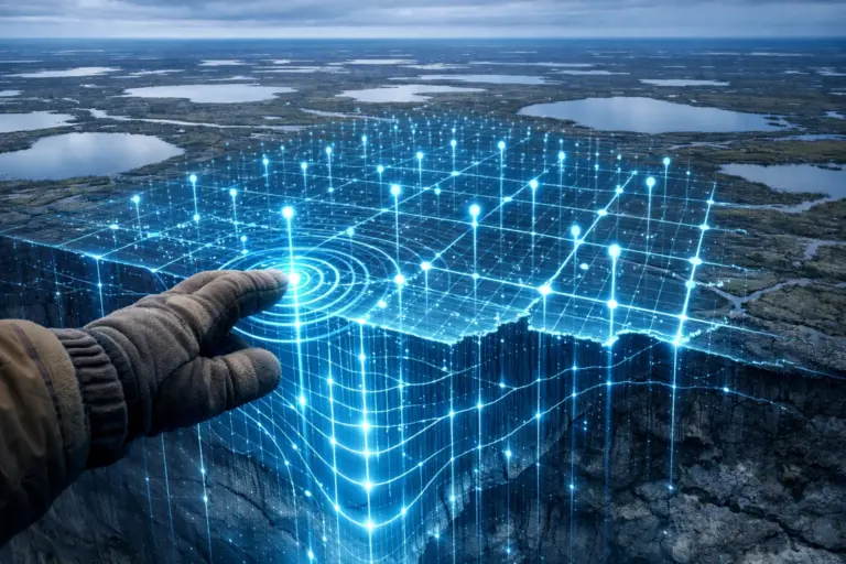
Specialists of the Scientific Study Center Arctic developed and released into the public domain a detailed digital soil map. This tool will help you safely design and build facilities in the region’s difficult climatic conditions.
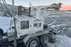
A new important service has appeared on the cartographic portal of the Yamalo-Nenets Autonomous Okrug – an interactive permafrost map. It is based on long-term monitoring data, which has been conducted since 2018 through a network of special wells. The system includes hundreds of measurement points that record ground temperature both in undeveloped areas and in urban areas.
The service is focused on practical use. It can be used by design organizations, construction companies and municipal authorities. On the map you can see not only the depth and distribution of permafrost, but also receive recommendations on the choice of construction principles. Experts offer two main approaches: keeping the soil frozen for the entire period of operation of the building or controlled thawing before starting work.
Currently map contains information on key settlements: Salekhard, Novy Urengoy, Labytnangi, as well as the village of Kharp and the village of Gornoknyazevsk. Plans for the current year include expanding the observation network in Novy Urengoy and Labytnangi to form a forecast model, after which the data will be updated in the system.
The creation of the map was made possible thanks to the regional law on permafrost. The Yamal-Nenets Autonomous Okrug became the first subject of the Russian Federation connected to the system of state background monitoring of frozen soils. Governor Dmitry Artyukhov has repeatedly noted that the development of technologies for adaptation to changes in permafrost is a strategic task for the development of the Arctic zone.
The launch of a publicly accessible digital permafrost map is a significant step to ensure the long-term security and sustainability of the infrastructure of the Far North. The tool allows you to make engineering decisions based on current scientific data, minimizing risks and costs during Arctic development.
Source: GeoInfo