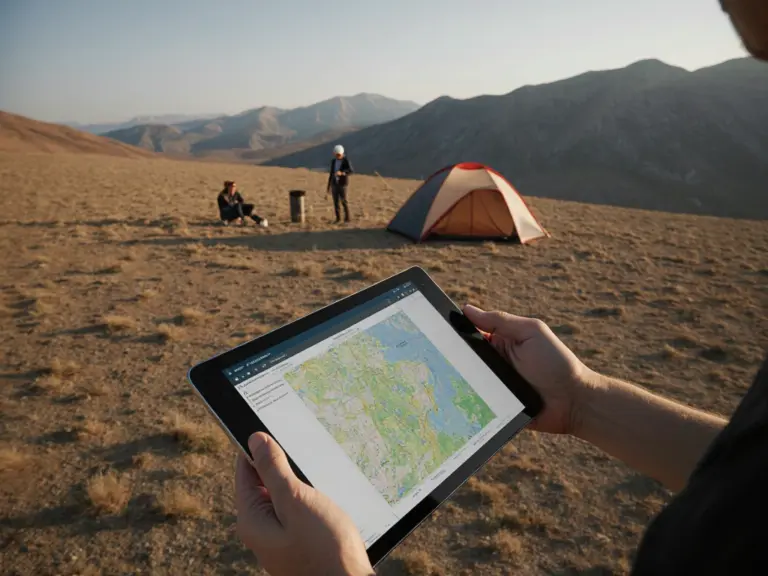
Kazakhstan is starting to create a digital subsoil map. A large-scale project initiated by the head of state will start in 2026 and will radically change the work of the geological industry.
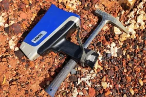
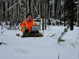
From 2026, the formation of a unified electronic geological map of the country will begin in Kazakhstan. The work is carried out on behalf of the President of the Republic. For analysis, specialists will use a set of modern methods: they will study satellite images, airborne geophysics data and geochemical research. Such an integrated approach will allow us to assess the mineral resource potential in a completely new way, with the highest accuracy. deposits.
Preparations for large-scale work have already begun. This year, funding was allocated from the government reserve for the development of project documentation. These facilities are designed to enable next-generation geological surveying at a detailed scale of 1:50,000.
This project is a logical continuation of the systematic digitization of all geological data in the country. According to JSC National Geological Exploration Service (NGS), by the beginning of 2025, more than 2.6 million units of archival data had already been converted into digital data. This accounts for about 60% of the total amount of information. It is planned to completely complete the process of digitalization of the geological industry in Kazakhstan by 2028.
Creating a digital subsoil map will make valuable geological information more reliable and accessible. Introduction of new technologies, including artificial intelligence and automated data processing systems will open up new prospects for searching for minerals and attracting investment in the mining sector of the economy.
The material was prepared with the support of the Russian Ministry of Education and Science as part of the Decade of Science and Technology.
Source: dprom.kz
Image generated by a neural network