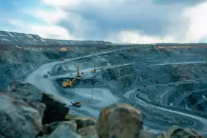
Two remote sites at the junction of Zabaikalye and the Amur region have come into the geologists’ sights. Here, in a zone of continuous permafrost, Rosgeo specialists are carrying out surveys to update the State Geological Map. The result should be not only new maps but also a list of areas worth exploring for gold, copper, tungsten, and rare earth metals.
The sites in question are the Dzhemku-Olyokma area in the northeast of Zabaikalsky Krai and the Mokla-Kolbocha area in the Tynda district of Amur Oblast. Together they cover almost 19,000 square kilometers of permafrost-covered terrain. The work under a contract with the Karpinsky Institute is being carried out by the Amur branch of Khabarovskgeologia, part of the Urangeo structure.
According to Urangeo lead geologist Evgeny Malchushkin, the choice of areas is not random: the specialists see prerequisites here for new strategic raw material deposits. The list includes gold, molybdenum, copper, graphite, rare earth metals, tungsten, beryllium, and fluorspar. Field teams have already worked through the Korsuga, Burgai, and Tungir reference sites and confirmed prospects for molybdenum, gold, tungsten, titanium, vanadium, and base metals.
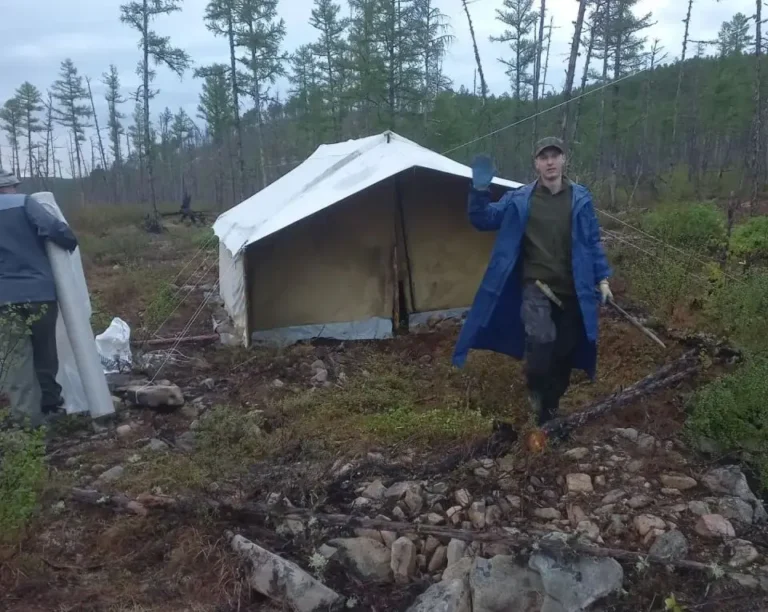
In parallel, an IMGRE party worked in the Mokla-Kolbocha area. From late May to early October, geochemists collected more than 2,200 stream sediment samples and about 500 hand specimen samples. The Karpinsky Institute is meanwhile preparing modern geophysical foundations for the future map sheets.
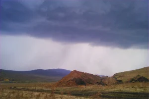
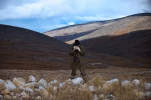
Conditions in these territories are a test of endurance. The sites are far from settlements and roads, permafrost reaches hundreds of meters, and in summer only a thin layer thaws, turning valleys into swamps. The main transport is the Mi-8 helicopter, and routes take many days on foot. Despite this, the field parties not only fulfilled the annual plan but also carried out advance studies to provide material for the 2027 office processing.
Final conclusions about the territories’ prospects will come after all data are integrated, and completion of the work is scheduled for 2027. If expectations are confirmed, the geological map of the Far East will become more accurate, and subsoil users will gain new reference points for searching for strategic metals.
Source: Rosgeologia
Image: Rosgeologia