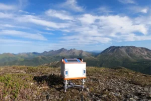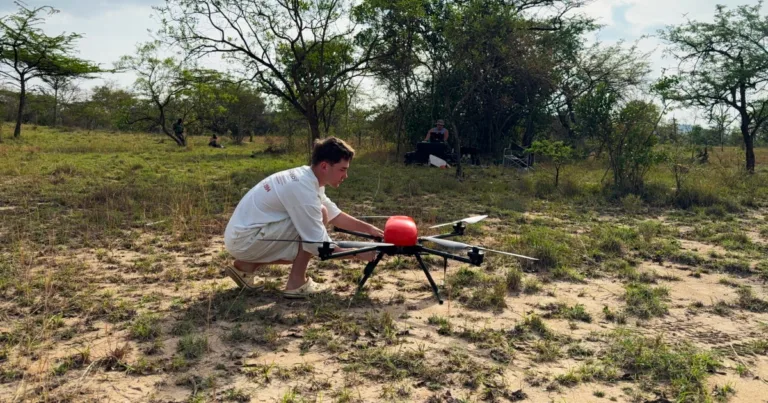
The Geoscan company carried out airborne geophysical research in Uganda commissioned by the International University of East Africa. Using the Geoscan 401 Geophysics drone, specialists surveyed an area of 61 square kilometers in nine days. Target – identify promising areas for gold mining.
The use of drones turned out to be five times faster than traditional ground survey and noticeably cheaper. For developing countries where exploration budgets are limited, this is especially important. The technology allows you to quickly obtain high-quality data without large-scale field work.
Conditions in equatorial Africa were difficult. Heavy rains and strong winds could have disrupted the program, but the equipment survived. All planned flights went smoothly, and the operators collected a full amount of information.
Now the materials are processed in laboratory conditions. As a result, geologists will receive maps of the anomalous magnetic field. They will indicate exactly where to lay wells and pits for further study.
The head of the Geoscan geophysics department, Dmitry Goglev, noted that the company did not limit itself to filming. The specialists shared practical skills in working with unmanned systems to their Ugandan colleagues. Now local scientists will be able to independently organize such research.
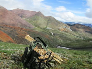
The work coincided with the rise of the gold mining industry in Uganda. Authorities recently announced the launch of the Wagagai mine in Busia County. According to preliminary estimates, it will bring the budget more than $100 million a year.
Thus, Russian technologies not only help discover new deposits in Africa, but also create the basis for training local personnel. The market for unmanned geophysics on the continent is just emerging, and Geoscan already occupies a strong position in it.
Source: @zolteh
Image: Geoscan