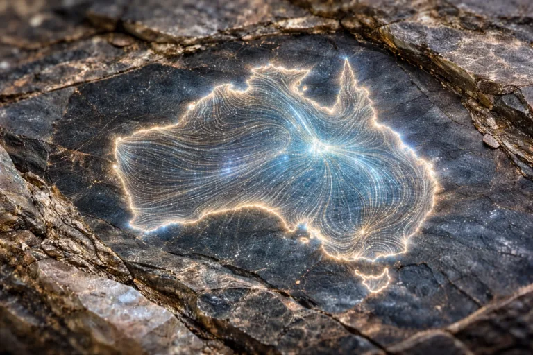
Australian scientists, using a breakthrough analysis technique, deciphered a unique signal imprinted in rocks. The three-dimensional model they created revealed a gigantic geological structure beneath the surface of the northern territory of the continent, whose contours surprisingly resemble the outlines of the continent itself.
This discovery, informally called the Australian Magnetic Anomaly, was made possible thanks to an innovative algorithm for reprocessing archival data. Specialists from the national scientific agency CSIRO re-analyzed the results of a large-scale aeromagnetic surveyconducted more than twenty years ago.
A new computational approach made it possible to eliminate interference and “reveal” previously hidden details. As the researchers explain, rocks have a kind of mineral memory, recording the direction and strength of the planet’s magnetic field at the time of their formation. Deciphering these records opens a window into Earth’s deep past.
The improved model for the first time clearly showed the complex internal architecture of the region: previously indistinguishable strata, deep faults and folded structures. It has been established that the western edge of this large-scale anomaly is exposed on the surface in the area of the ancient Hatches Creek Formation, whose age is estimated at 1.6–2.5 billion years.
This research not only reveals new chapters in Australia’s geological history, but also demonstrates the power of modern geodata interpretation methods. The resulting maps pave the way for fundamental discoveries and can point in new directions for the search for valuable mineral resources.
Source: Live Science
Image: CSIRO