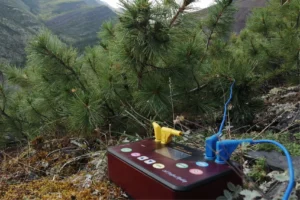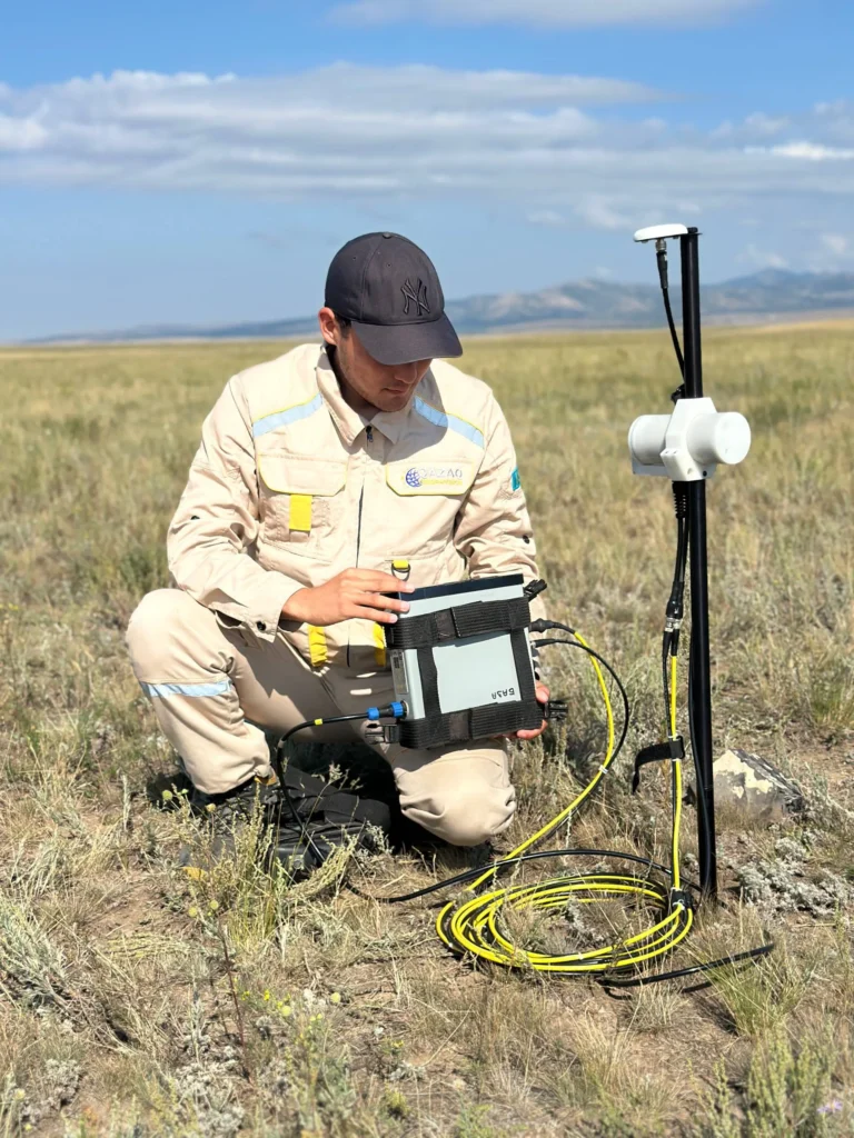
Kazakhmys Corporation has launched geophysical surveys at prospective sites and operating deposits in the Ulytau, Karaganda, and Abai regions. The company is using electrical and magnetic surveying, drone mapping, and laser 3D scanning to better understand the structure of the subsurface and plan mining operations. One of the new directions is the search for copper-sulfide mineralization at the Taskura site, where its subsidiary Qazaq Geophysics has already begun work.
At the Taskura ore field, the surveys will cover two sites with a combined area of 7.1 square kilometers. Specialists will study the geological structure at a depth of at least 500 meters and identify anomalies that may indicate copper-sulfide mineralization. The total planned volume of electrical surveying is 156 line kilometers. Of these, 15 kilometers are planned to be completed by the end of 2026, and the remaining 141 in 2027.
Geophysics is also under way at other sites. At the Kusmurun-Akbastau ore field in Abai region, electrical surveying of 52.4 kilometers has been completed. Boreholes totaling 1,500 meters are also to be surveyed there. At the Burnak ore field in Karaganda region, ground magnetic surveying of 702 kilometers and electrical surveying of 10 kilometers were carried out. For the Kyzyladyr site, covering 19.5 square kilometers, geological maps and a 3D model of the territory will be built. Another 310 kilometers of ground magnetic surveying has been completed at the Sayak ore field, with electrical surveying as the next stage.
A separate block covers unmanned technologies and 3D modeling. The pit of the Abyz mine was filmed with drones to develop a 3D model, assess the condition of the facility, and plan an extension of its operating life. In the underground workings of the Zhylandy mine, laser 3D scanning was carried out from a drone. The system operated autonomously: it oriented itself in the underground space, avoided obstacles, and generated a point cloud in real time. A digital model of the mine space will be built from this data. Topographic surveys were also carried out at Kusmurun-Akbastau and Nurkazgan.
For Kazakhmys, this is not a one-off campaign but a shift to continuous updating of geological information. Electrical surveying shows where to look for ore, while drones and scanners provide the precise geometry of workings, and together they reduce the risk of costly mistakes in mine planning. How effective this approach proves will be shown by drilling results and new ore body models.
Source: Kazakhmys
Image: Kazakhmys