Geologists may have found an explanation for an age-old mystery: how the Green River managed to carve a deep canyon through the Uinta Mountains in the United States rather than bypass them. The answer lies in the slow subsidence of the earth’s crust beneath mountain range.
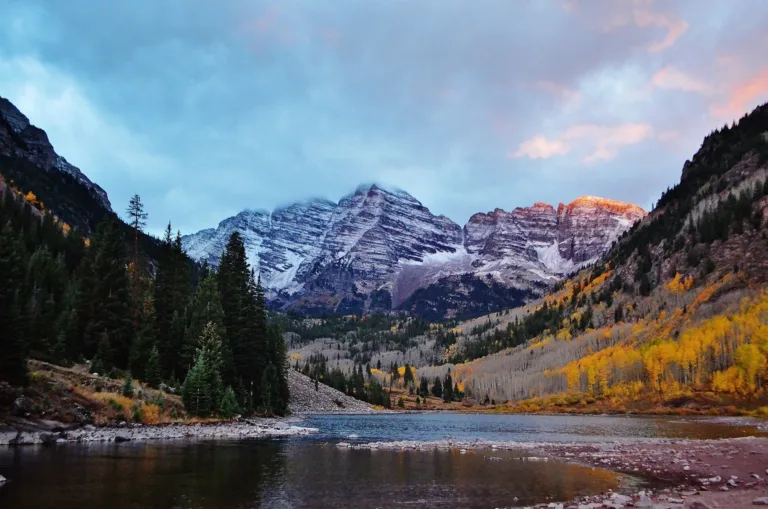
For 150 years, scientists have puzzled over the unusual route of the Green River, the Colorado’s largest tributary. Instead of bypassing the 4 km high Uinta Mountains, the river cut a canyon 700 meters deep into them. The mystery was compounded by the fact that the mountains are 6 times older than the river bed.
An international team of researchers from the UK and US has proposed a new explanation. In their opinion, the cause was a phenomenon called a “lithospheric drop”. It occurs when dense, heavy material at the base of the Earth’s crust beneath a mountain range begins to sink into the mantle, dragging the surface with it. This temporarily lowers a section of the mountains, allowing the river to make its way. When the “drop” finally breaks away and sinks, the earth returns, but the channel has already been formed.
Scientists used seismic image and computer modeling. The data showed a cold circular anomaly under the mountain range at a depth of about 200 km – this is probably the detached “drop”. Modeling of the river network also revealed a characteristic circular zone of uplift around the mountains—a “fingerprint” of this process.
This discovery not only solves a long-standing geological puzzle, but also confirms that “lithospheric blobs” may be the key to understanding landform formation in tectonically quiet regions. The confluence of the Green and Colorado Rivers millions of years ago altered the North American continental divide, influencing the evolution of the region’s entire ecosystem.
Source: Phys.org
Image: Pixabay