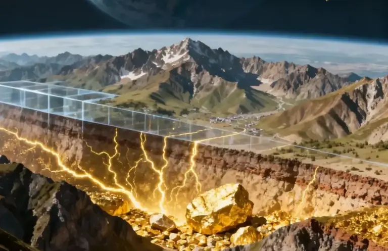
Scientists from the Southern Scientific Center of the Russian Academy of Sciences have developed a technology that makes it possible to find blind and buried ore bodies using spectrozonal satellite images. The approach simplifies and speeds up the search deposits, reducing the costs of traditional field reconnaissance.
The authors of the work propose to use satellite images as a source of geophysical information about the structure of the earth’s crust. According to researchers, the surface pattern often interferes with geologists, and satellite-recorded images are of main importance. electromagnetic radiation in different zones of the spectrum. This approach turns multispectral space imaging into a tool comparable to geophysical methods that are used to search for anomalies in the subsurface.
The new technology of geophysics from space has already been tested at the Raduzhnoe gold deposit in Kabardino-Balkaria. The scientists used digital images of the American Landsat‑7 satellite, taken in seven spectral ranges over several years of observations, as well as the SRTM digital elevation model. Based on these data, a cluster analysis was carried out, as a result of which the ore field was divided into dozens of types of elementary sites.
The previously explored First ore body became the standard for testing the method. The analysis showed that it is clearly expressed in two of the 83 identified types of sites. Researchers propose to consider areas with the same characteristics outside the known ore deposit as probable localization zones for new gold-bearing mineralizations. This means that the technology allows, based on space data, to make targeted forecasts and precisely plan further geological exploration.
The technology of geophysics from space developed at the Southern Scientific Center of the Russian Academy of Sciences shows high efficiency and can be used to search for various types of minerals in hard-to-reach areas. For subsoil users, this is a chance to reduce the amount of expensive field work and more quickly obtain information about promising areas, and for the regions, it is a tool for a more accurate assessment of the mineral resource base.
The material was prepared with the support of the Russian Ministry of Education and Science as part of the Decade of Science and Technology.
Source: nedradv.ru